LORAN MONITOR STATION ADAK
Station Information
| Site Survey: | SEP 1943 - site survey |
| Construction Date | NOV - DEC 1943 |
| Constructed by: | CONSTRUCTION DET “A" |
| Established: | FEB 1944 |
| Disestablished: | 04 DEC 1946 - USCGC Northwind work party disestablished the monitor site |
| Operated by: | USCG |
| Station code name: | ABLE |
| Station Unit Identifier: | CG Unit 64 |
| Personnel Allowance: |
|
| Miscellaneous: | 18 JUL 1943 - Plane crash during a mapping survey - 8 lives loss http://www.check-six.com/Coast_Guard/Adak_PBY_crash.htm 1943 - Nov 27 - CO killed in PBY crush The officer in charge of the construction of this station was Lt. (j.g.) Anthony J. Windheim, who had a crew of 20 men. |
| Commanding Officers / Officers in Charge |
1943 - 1944 ENS Charles E. Johnson (? - 27 NOV) 1943 - 1944 ENS F. J. Molly (NOV - ?) 1944 - 1945 ENS Raymond V. Pruner (? – 26 DEC) 1945 - 1946 CRT Proctor L. Pulliam (26 DEC - ? Acting) |
Station Operations
LORAN-A
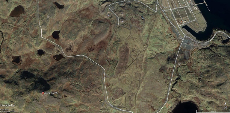
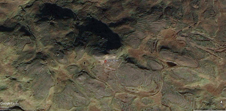
51 51 N - 176 41 W (Site Survey)
51 50 39.46 N - 176 40 41.69 W (USFWS)
| Operational date: | FEB 1944 |
| Operations Ceased: | 1947 |
| Station Operation: | Loran A Monitor |
| Chain: Monitor Rate: Chain Monitor Rate: |
BERING SEA 1L1 - St. PAUL (DM) 385nm - St. MATTHEW (SS) 528nm 1L2 - St. PAUL (DM) 385nm - UMNAK (SS) 290nm WESTERN ALEUTIANS 1L0 - AMCHITKA (SM) 154nm - ATTU (SS) 381nm Note: Nautical miles are approximated distances from LMS to LTS. |
| Radio Call Sign: |
|
| Equipment: | 1943 - LRN-1 Receivers sn: 80; 128; 153 & 173 JUL 1944 - DAS-1 Receivers |
Pictures:
courtesy of google earth
courtesy of google earth
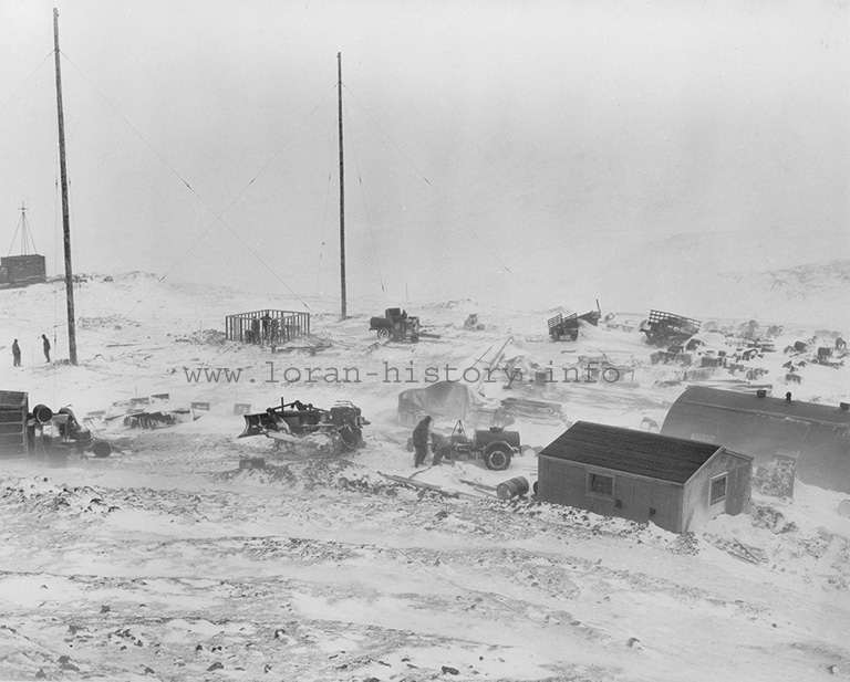
The photo below was retrieved from the National Archives

(courtesy U.S.C.G.)
During construction c./1943
U.S. Fish and Wildlife Service 2020 site photos - courtesy of Ms. Lisa Spitler
Return to home page

